On Thursday, April 25, The Trust Family Foundation Shark and Ray Touch Tank will be closed until 1:00 p.m. for routine animal care.
Anderson Cabot Center for Ocean Life
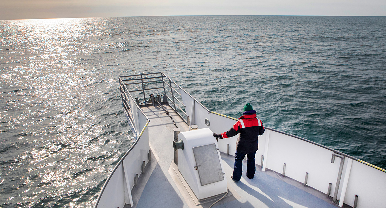
At the Anderson Cabot Center for Ocean Life, the Aquarium’s dedicated research arm, we use marine science to protect animals and help others use the ocean responsibly.
Transforming Science Into Action
We are working to combat the unprecedented impacts on the ocean from climate change and other human activities.
A world-class team dedicated to ocean conservation science
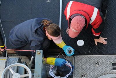
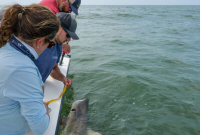
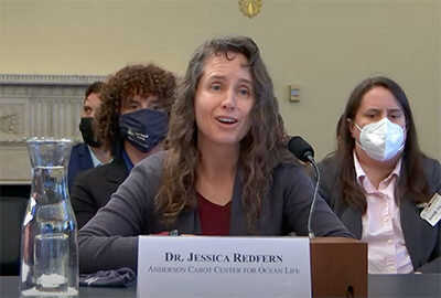
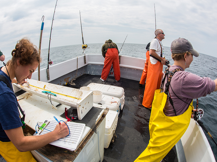
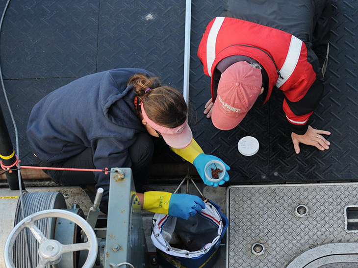
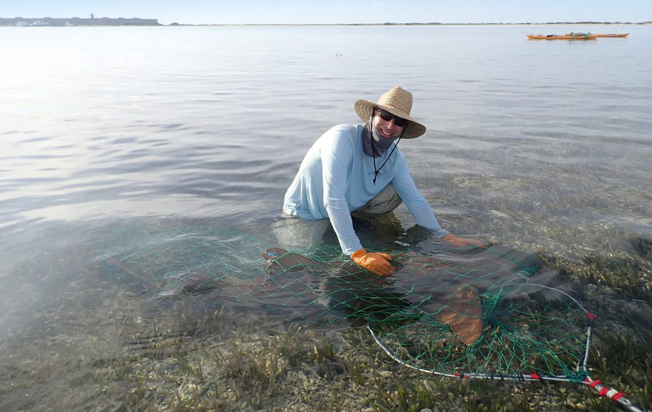
The Anderson Cabot Center for Ocean Life at the New England Aquarium is composed of more than 40 world-class marine scientists, public policy professionals, and technical specialists who have devoted their careers to improving ocean health.
Leading the way in marine conservation research
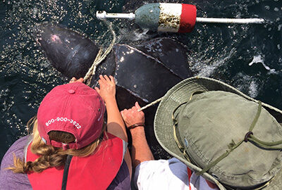
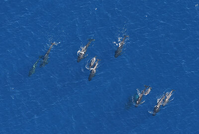
Within the Anderson Cabot Center for Ocean Life, our research and conservation programs focus on a range of issues, from protecting the critically endangered North Atlantic right whale to responsible ocean management and more.
Recent Ocean Research Publications
Find the latest published, peer-reviewed marine research from Anderson Cabot Center for Ocean Life scientists.

Our Impact
Read the latest news and stories from the Anderson Cabot Center for Ocean Life.