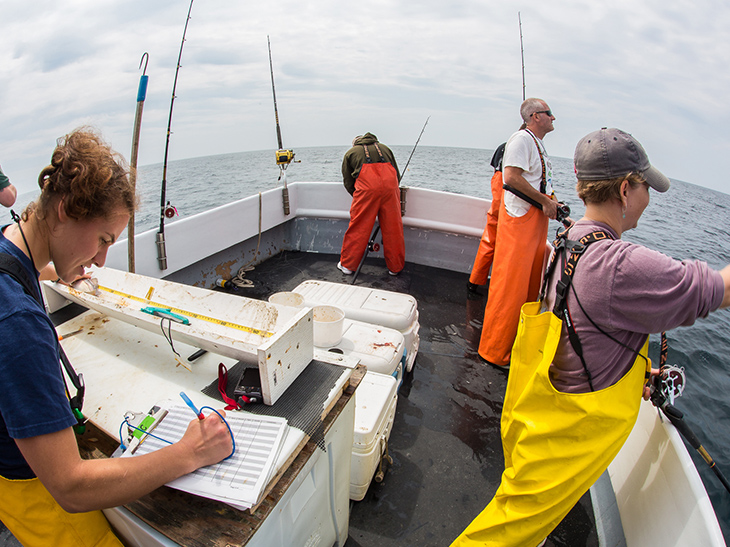
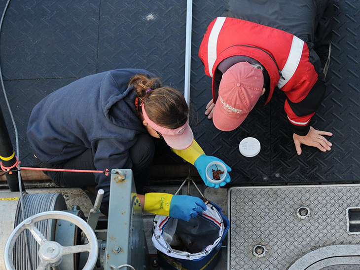
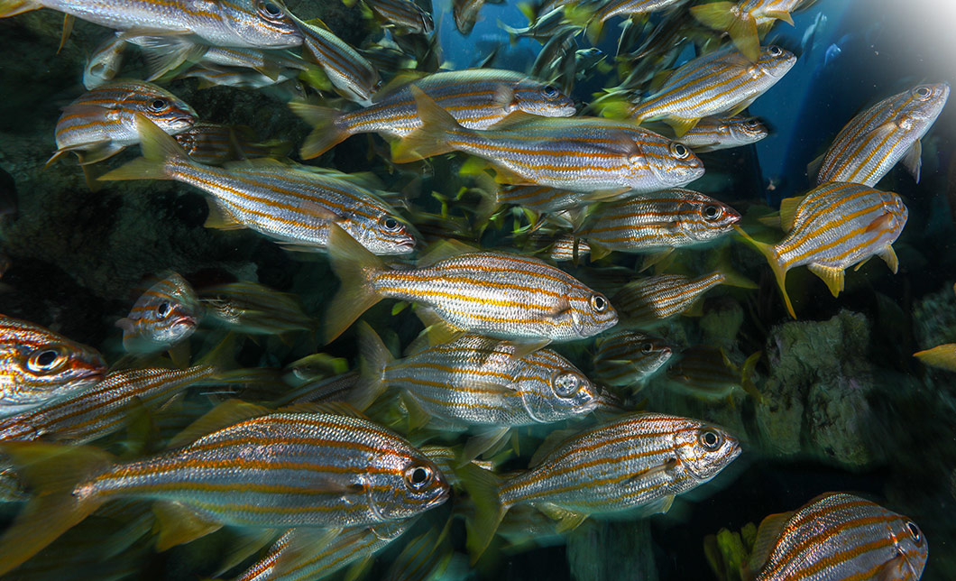
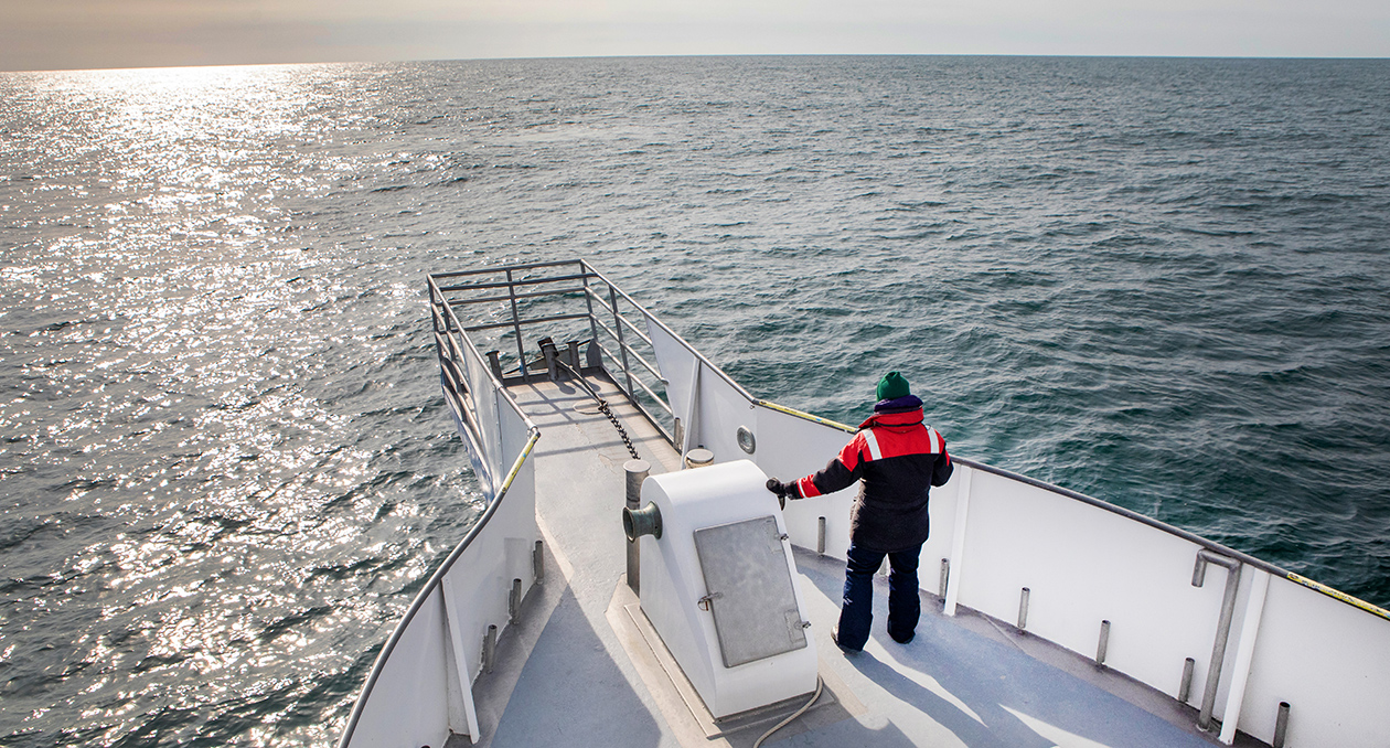
EcoMap’s mission is to assess risks to marine species from human activities and climate change. We conduct our assessments in collaboration with stakeholders to develop solutions to the most pressing marine conservation challenges.

EcoMap leverages field research and cutting-edge analyses to understand marine species distribution patterns. They use this knowledge to assess risks to these species from human activities and to understand how these distribution patterns are changing in response to climate change.

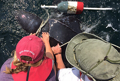
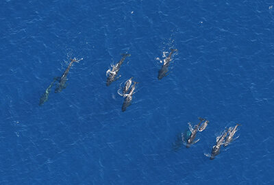
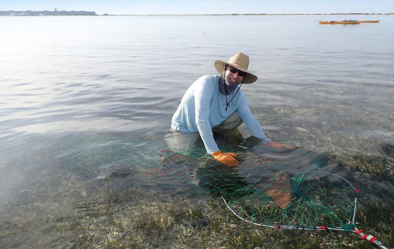
EcoMap is involved in hands on field-work, collecting rigorous line-transect distance sampling data during aerial surveys of the wind energy areas offshore of Massachusetts and Rhode Island and the Northeast Canyons and Seamounts Marine National Monument. These aerial surveys help identify the species using these areas and monitor their populations.  EcoMap has been collecting these systematic data sets for many years, which allows us to estimate changes in species distributions and abundance over time.

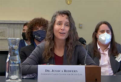
My goal has always been to contribute to wildlife conservation. It’s something that’s really important to me. All of my research has had a conservation application.
- Jessica Redfern, Senior Scientist and EcoMap Chair

EcoMap uses tools such as R, GIS, Python, and Matlab to:

  • estimate trends in marine mammal abundance
  • map marine mammal distributions and human activities
  • assess risk caused by overlap between marine mammal distributions and human activities
  • estimate potential changes in marine mammal distributions caused by climate change
  • develop solutions to reduce risks to marine mammals from human use and climate change

Our work is cross-cutting—we believe the best way to conduct world-class science is to collaborate with all stakeholders: at the New England Aquarium, at other NGOs, at other research institutions, within industry, within state and federal government, etc.


Putting Nature on the Map

Learn more about specific research projects:

  1. Mapping Species Distributions

    Mapping Species Distributions

    Aerial surveys collect data on the distribution and abundance of marine mammals and turtles.

  2. Climate change

    Climate Change Research

    We aim to understand how short and long term environmental changes affect ecological relationships and result in plankton, fish, and whales occupying new habitats.

  3. Risk Assessment

    Risk Assessment

    As our oceans become increasingly industrialized, it is important to identify areas where human use of the ocean overlaps with sensitive marine species.